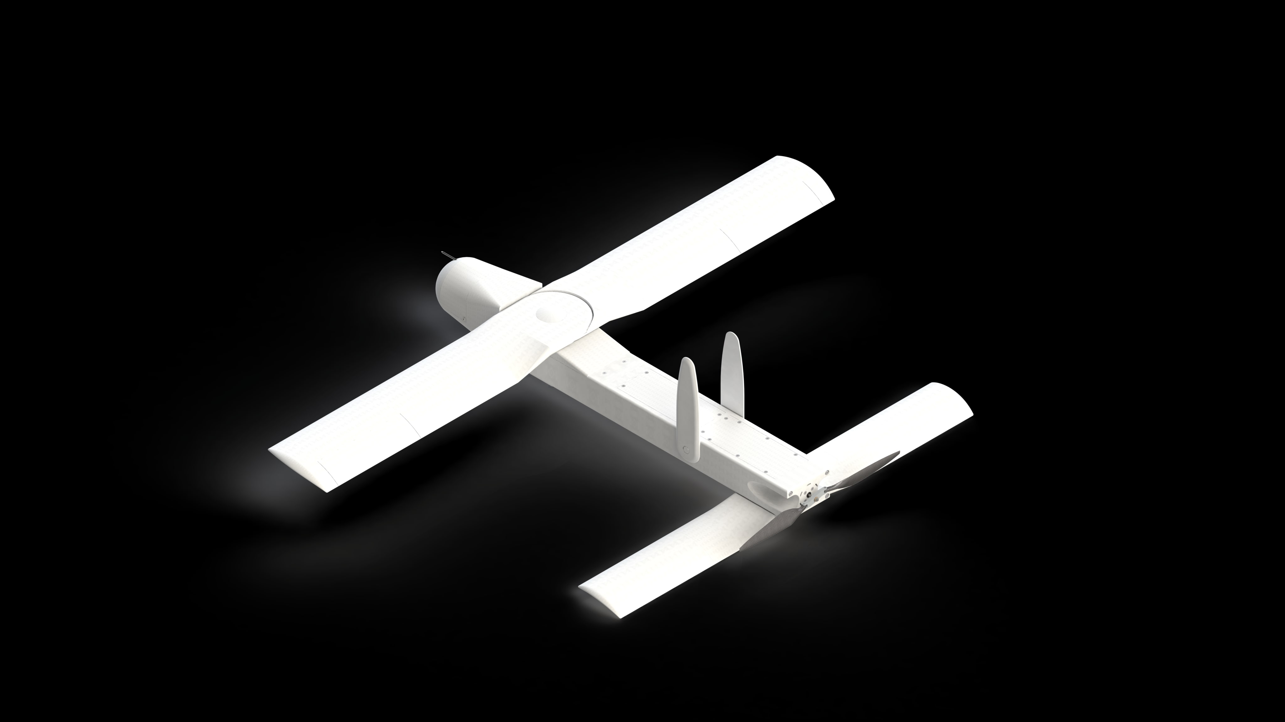
Visual Autonomy
No GNSS. No operator radio for navigation—VIN keeps map-aligned global state on board for every aerial platform: multicopter, fixed-wing, and subsonic jet-class.
VIN in the field
Presentation
Platform map
Operational Domains
VIN is the shared autonomy core; mission domains are extensions of the same onboard stack—not separate product silos.
Civil
-
Autonomous Delivery
Autonomous last-mile delivery and distributed logistics networks.
-
Infrastructure Monitoring
Persistent inspection of critical infrastructure and corridors.
-
Survey & Mapping
Rapid geospatial capture for planning and asset baselines.
-
Environmental Monitoring
Long-endurance observation for environmental and climate programs.
Defense
-
Tactical Deployment
Time-critical launch and employment in field-constrained settings. Automatic acquisition, tracking, and engagement of stationary targets and priority-class moving targets—eight or more target classes are reliably acquired and defeated.
-
ISR Operations
Intelligence, surveillance, and reconnaissance in denied or degraded comms—with the same automatic acquisition, tracking, and engagement chain for stationary targets and priority movers (eight or more target classes reliably engaged).
-
Contested Environments
Operations where GNSS and wide-area datalinks cannot be assumed; terminal employment includes automatic acquisition, tracking, and defeat of stationary and priority moving targets—eight or more classes reliably engaged.
-
Platform Integration
Deep integration with airframes, sensors, and mission software stacks—including autonomous acquisition, tracking, and engagement of stationary and priority moving targets (eight or more target classes reliably acquired and defeated).
Navigation
GNSS- and radio-denied
Contested spectrum means jammed, spoofed, or denied GNSS. VIN does not rely on satellites for core nav—and does not rely on an operator radio link for navigation or nav tasking. When your CONOPS allow, missions can run fire-and-forget: autonomy stays on board.
Navigation
Global coordinates
VIN tracks global coordinates for every aerial platform—multicopter, fixed-wing, or subsonic jet-class—so the entire force shares one world frame for deconfliction, swarms, and consistent tasking. After link loss, VIN holds the full flight mission on board and executes it through to the end —navigation, tasking, and terminal objectives remain autonomous without waiting on restored connectivity.
Runs on NVIDIA Jetson-class compute.

Architecture
Maps and fleet scale
Alignment to preloaded maps keeps global pose bounded—no long-run drift accumulation. Regional coverage can bound where the system operates; one map layer can serve a whole fleet.
Programs
Integration
Multicopter, fixed-wing, and subsonic jet-class paths—Jetson Orin class compute, cameras, VIN, MAVLink to PX4 / ArduPilot.
Readiness
Deployment
VIN core is shaped to your program—airframe, mission profile, integration path, and how you field it. You are not buying a generic drop-in; we align the stack with what your customer and safety case require.
Core navigation does not need wide-area datalinks for a position fix. When your deployment must follow export and release rules, map distribution and key handling can be matched to your security and customer workflow—not ours by default.
- No GNSS required for core global position
- No operator radio for navigation or nav tasking— autonomy stays on the platform